National level online workshop on: open Source Framework: Delineation of Urban Features from UAV Drone Data in collab with Council of Architecture TRC
Short Brief: The national-level online workshop focused on utilizing open-source frameworks for delineating urban features from Unmanned Aerial Vehicle (UAV) drone data. Experts and participants delved into techniques and tools, exploring the potential of open-source solutions for processing drone-collected data to identify and map urban features. The workshop aimed to empower attendees with practical knowledge and skills, highlighting the importance of accessible technology in urban planning and analysis through UAV-derived data.
Register Now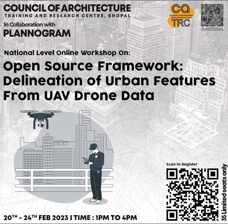
 Participants:
  Event Duration:
  Watch Event